Selected work

Selected geospatial work.

Professional and independent projects spanning environmental analysis, remote sensing, automation, spatial data and interactive mapping.

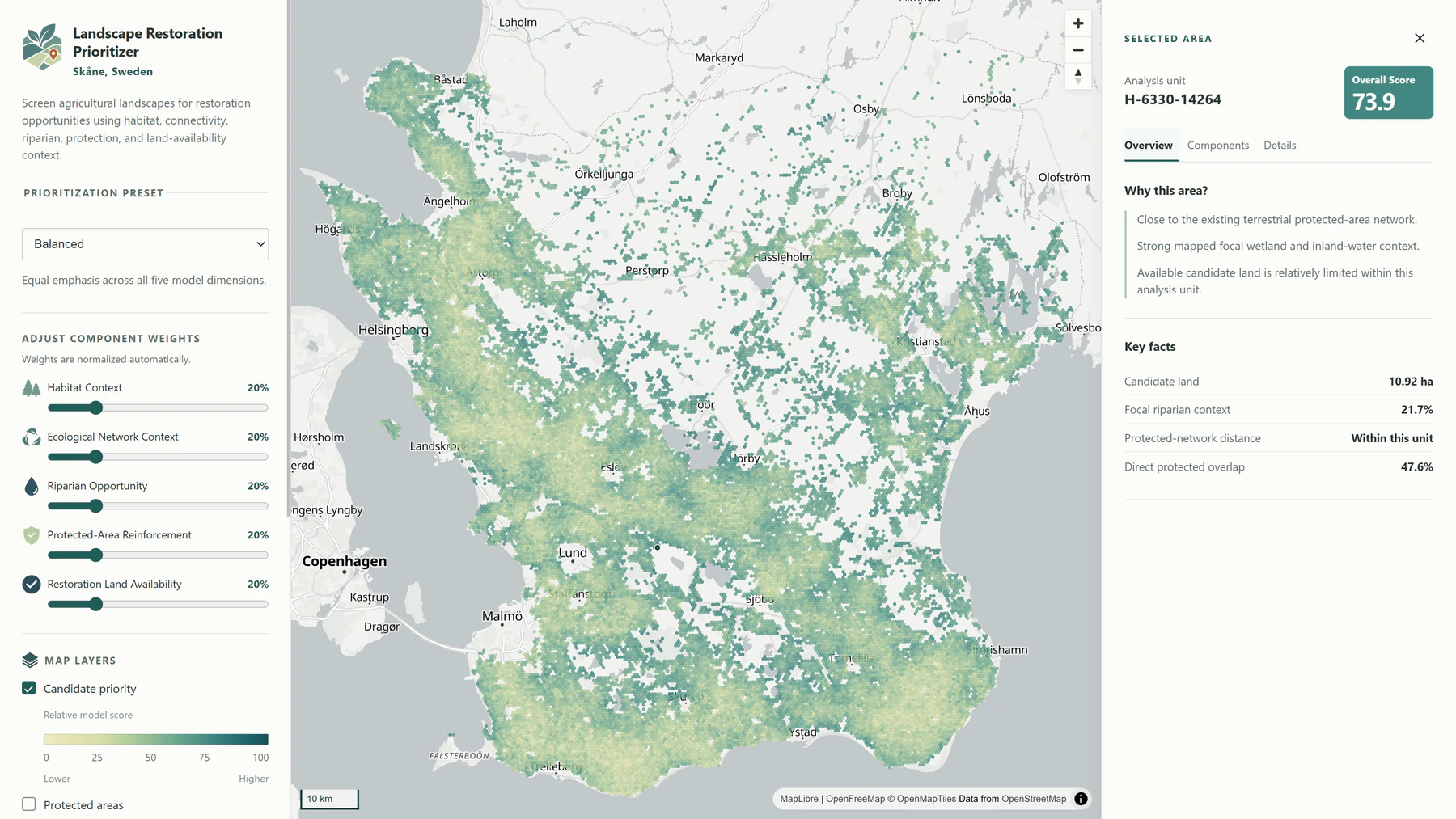
Landscape Restoration Prioritizer application showing ranked restoration opportunities across Skåne.

01

Independent Project

Landscape Restoration Prioritizer

An interactive screening tool for finding and comparing areas in Skåne that may warrant a closer look for ecological restoration.

Environmental GIS / Spatial Analysis / Prioritization / Python / Web Mapping

View project
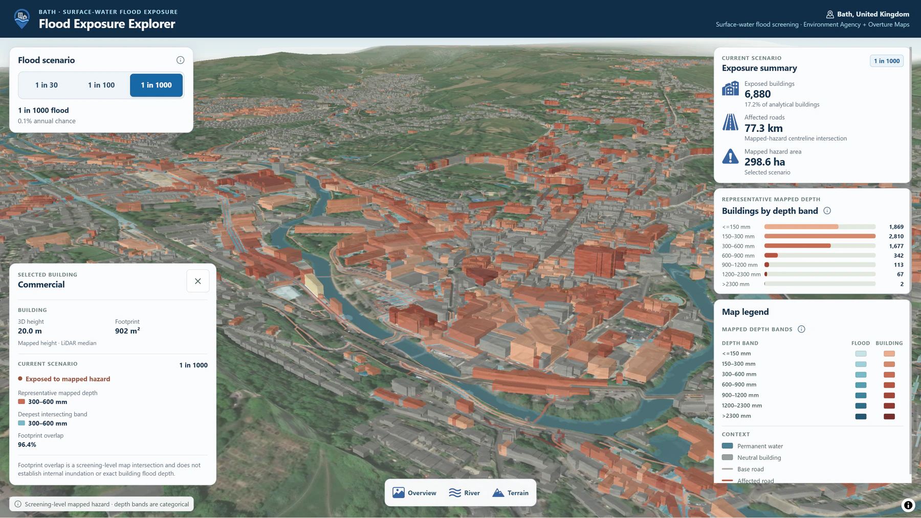
3D Flood Exposure Explorer showing flood hazard, buildings and terrain in Bath.

02

Independent Project

3D Flood Exposure Explorer

An interactive 3D application for seeing which buildings and roads intersect surface-water flood hazard under different scenarios in Bath, UK.

Flood Risk / Spatial Analysis / Data Engineering / 3D Web Mapping / Python

View project
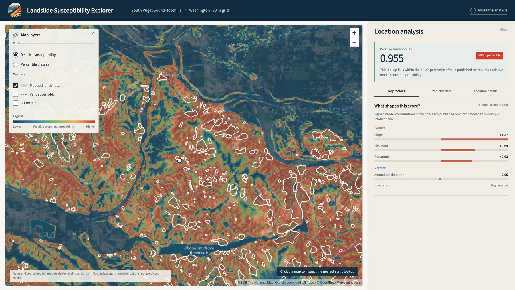
Landslide Susceptibility AI application showing modeled landslide susceptibility and spatial predictors.

03

Independent Project

Landslide Susceptibility AI

A geospatial machine-learning project for mapping relative landslide susceptibility and exploring which terrain and environmental variables are influencing the model.

Machine Learning / Spatial Modeling / Hazard Analysis / Python / Explainable AI

View project
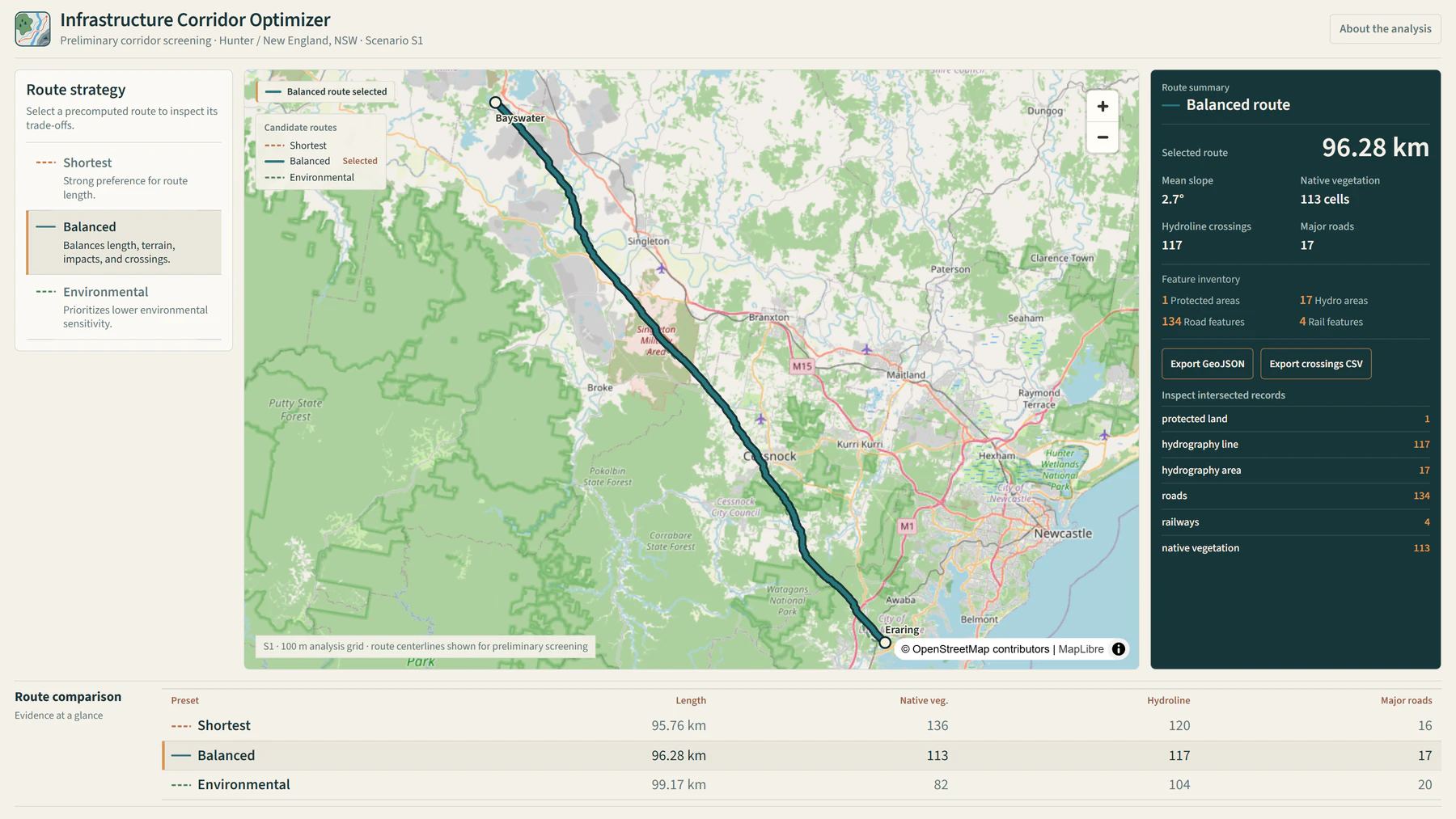
Infrastructure Corridor Optimizer comparing alternative infrastructure routes and spatial constraints.

04

Independent Project

Infrastructure Corridor Optimizer

An interactive routing study that compares plausible infrastructure corridors under different trade-offs between distance, terrain and environmental constraints.

Spatial Optimization / Infrastructure Planning / Environmental Constraints / Python / Web Mapping

View project
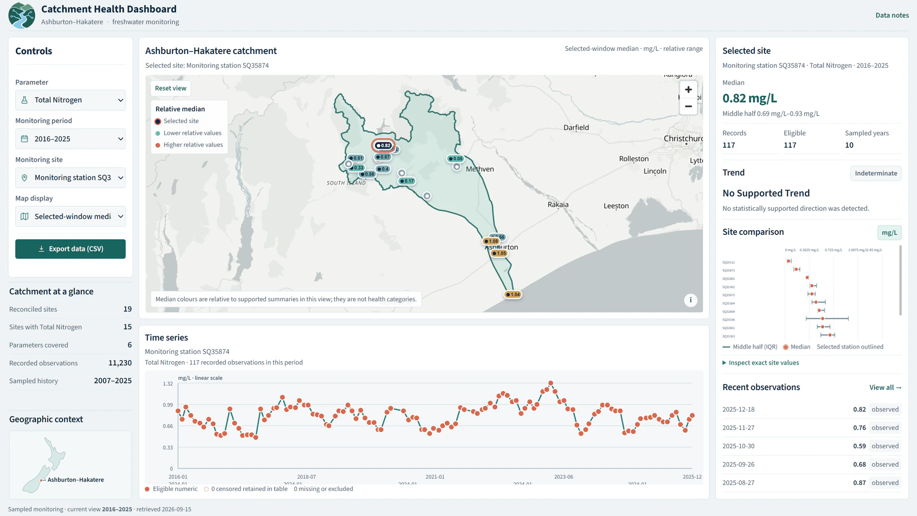
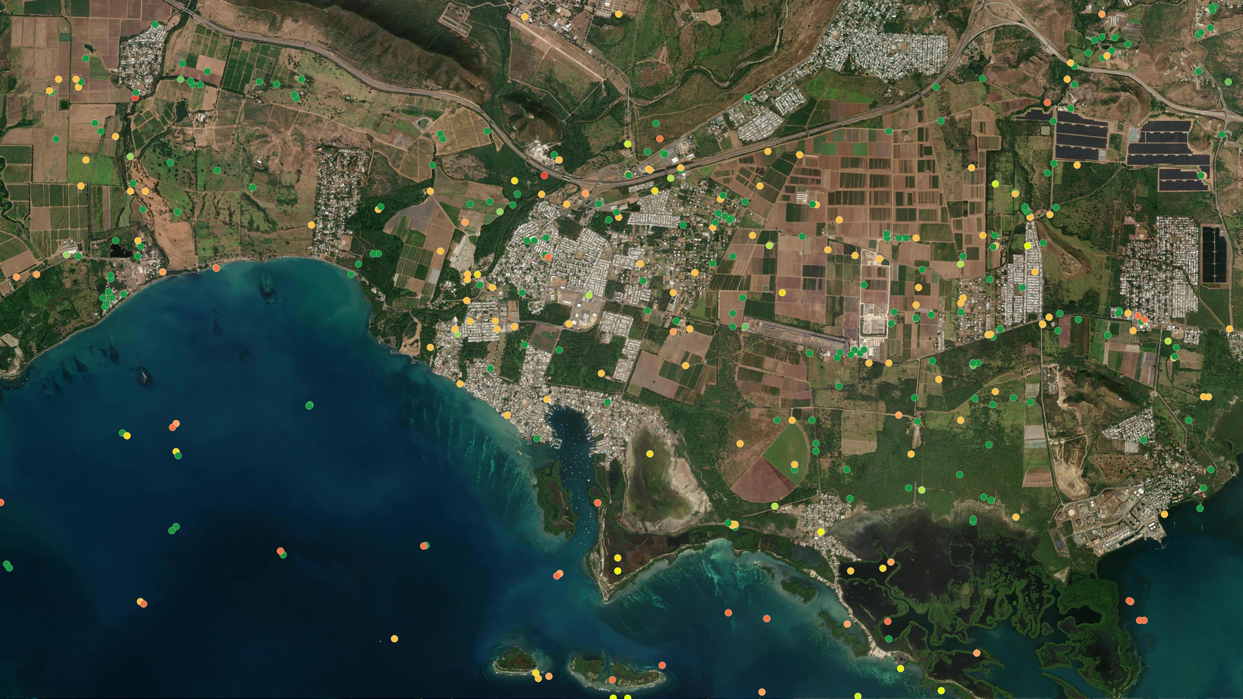
Catchment Health Dashboard showing monitoring stations and freshwater trends in Canterbury.

05

Independent Project

Catchment Health Dashboard

An interactive freshwater-monitoring dashboard for exploring water-quality observations and trends across the Ashburton–Hakatere catchment.

Environmental Monitoring / Spatial Data Engineering / Trend Analysis / Python / Web Mapping

View project
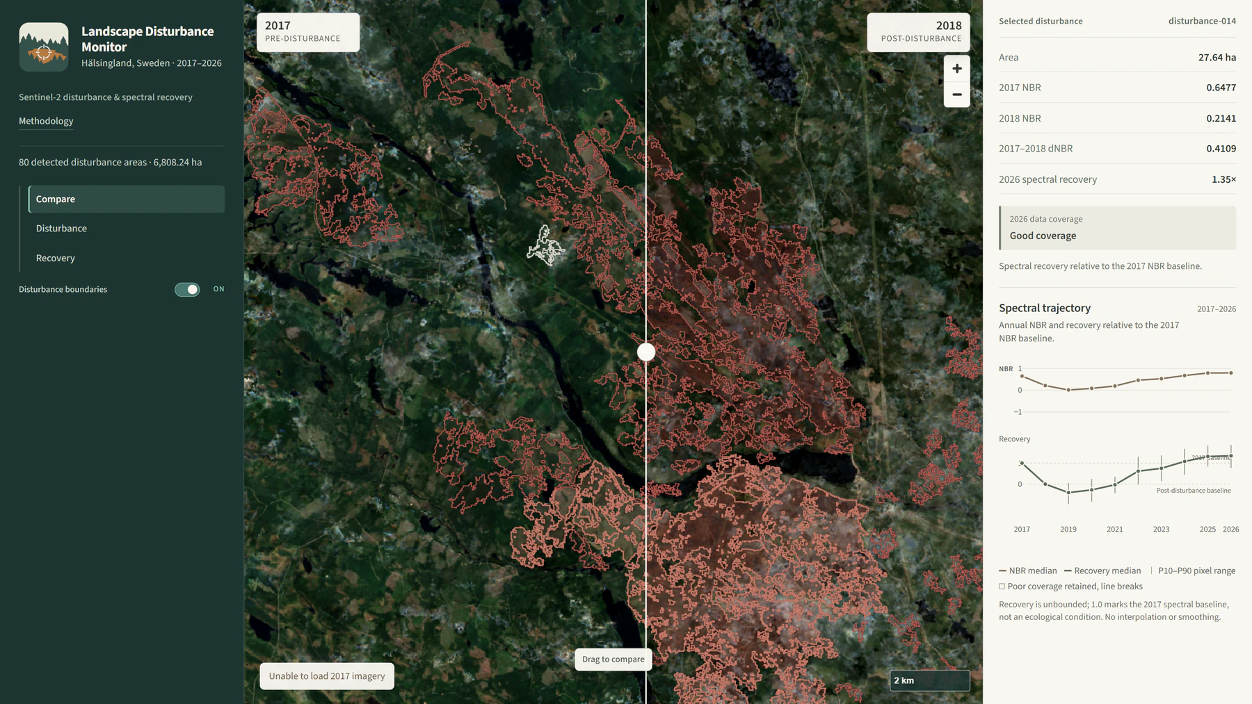
Landscape Disturbance Monitor showing Sentinel-2 disturbance and recovery analysis.

06

Independent Project

Landscape Disturbance Monitor

A Sentinel-2 workflow for finding large vegetation-change signals and following how those areas recover through time.

Earth Observation / Remote Sensing / Raster Analysis / Python / Web Mapping

View project
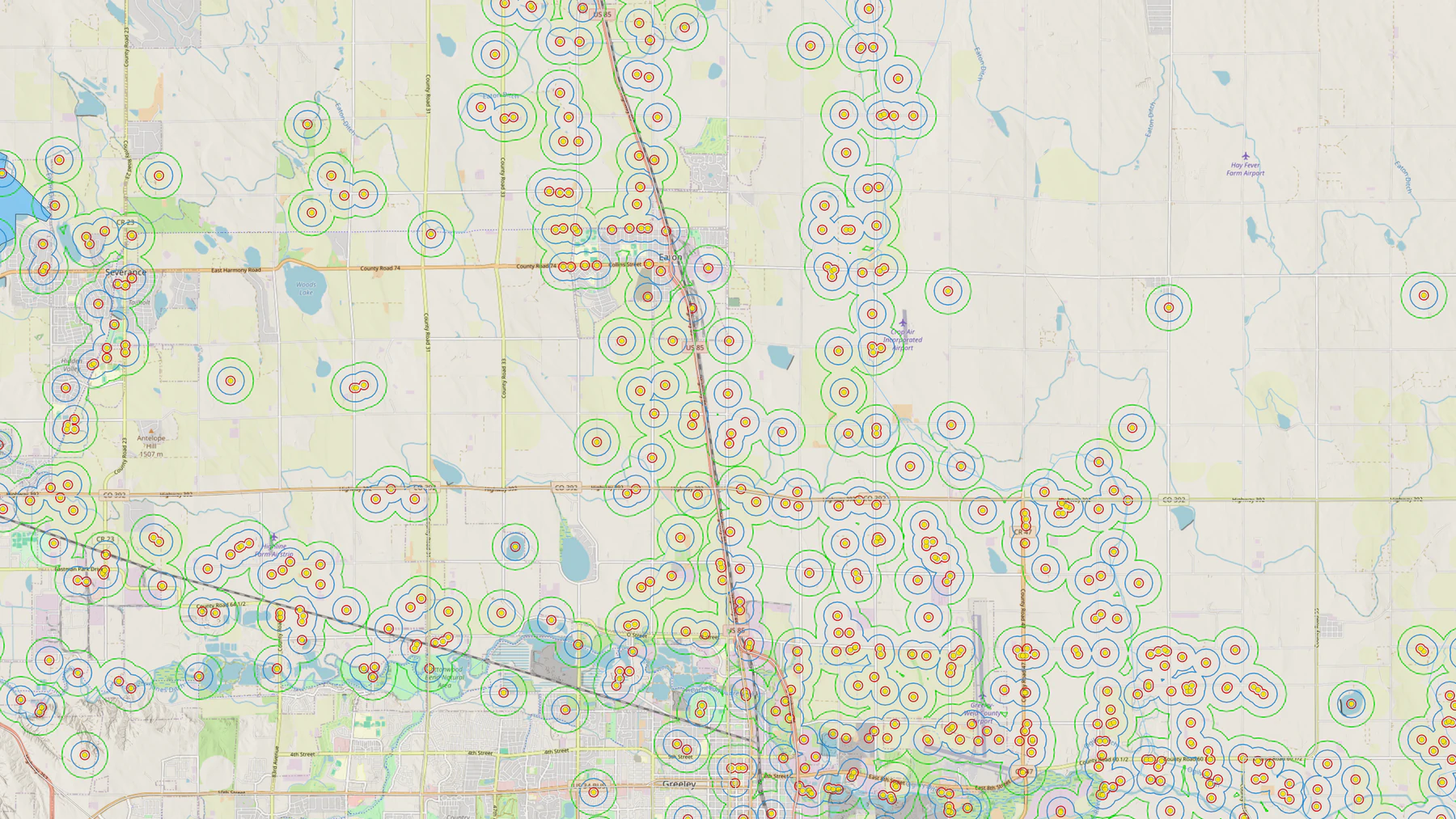
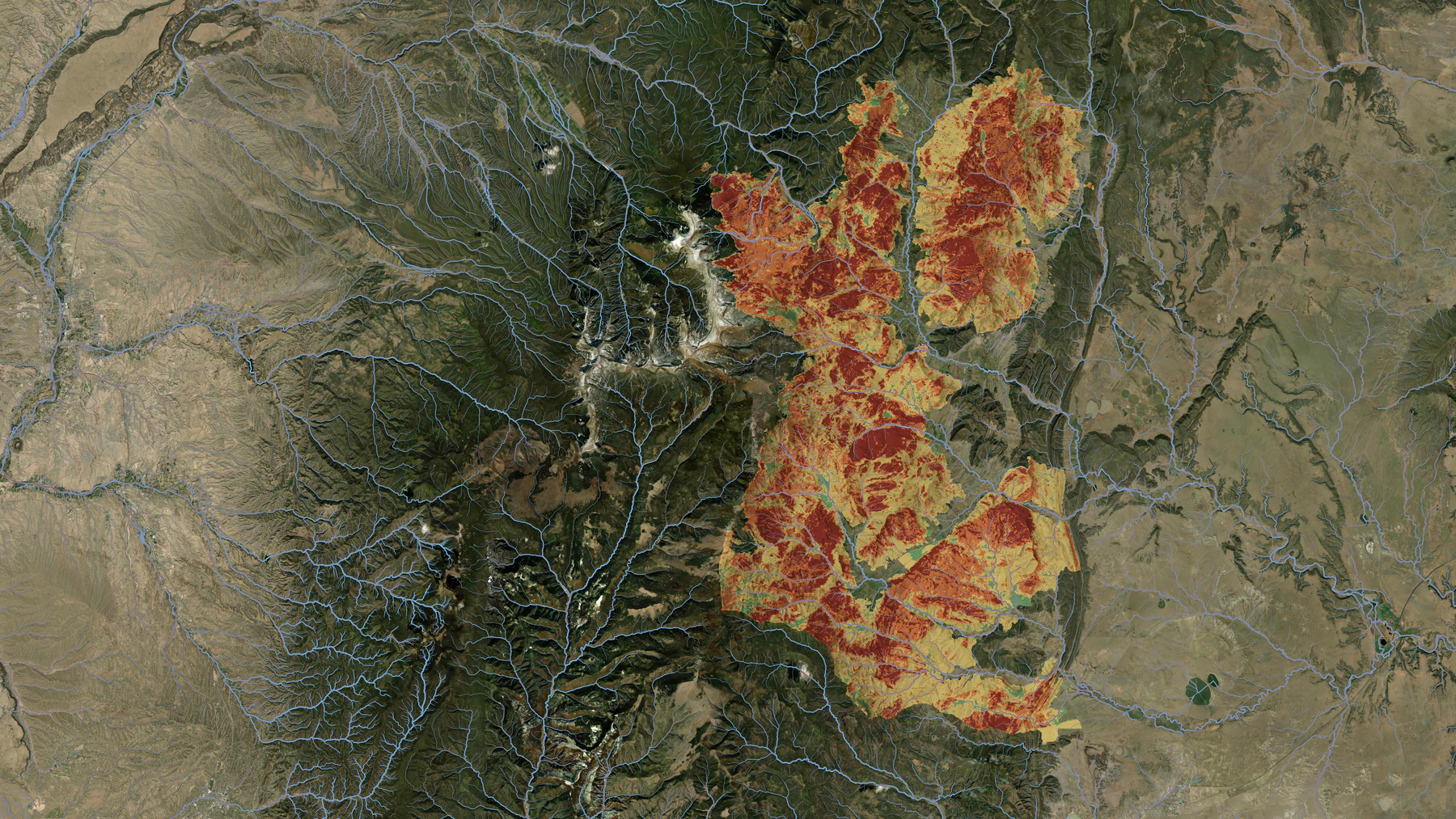
Wildfire and watershed geospatial decision-support analysis.

07

Professional WorkSWCA Environmental Consultants

Wildfire & Watershed Decision Support

Wildfire and watershed planning work combining post-fire hydrology, sediment and debris-flow analysis, Python automation, dashboards and interactive GIS tools.

Wildfire / Hydrology / Environmental modeling / Python / Web GIS

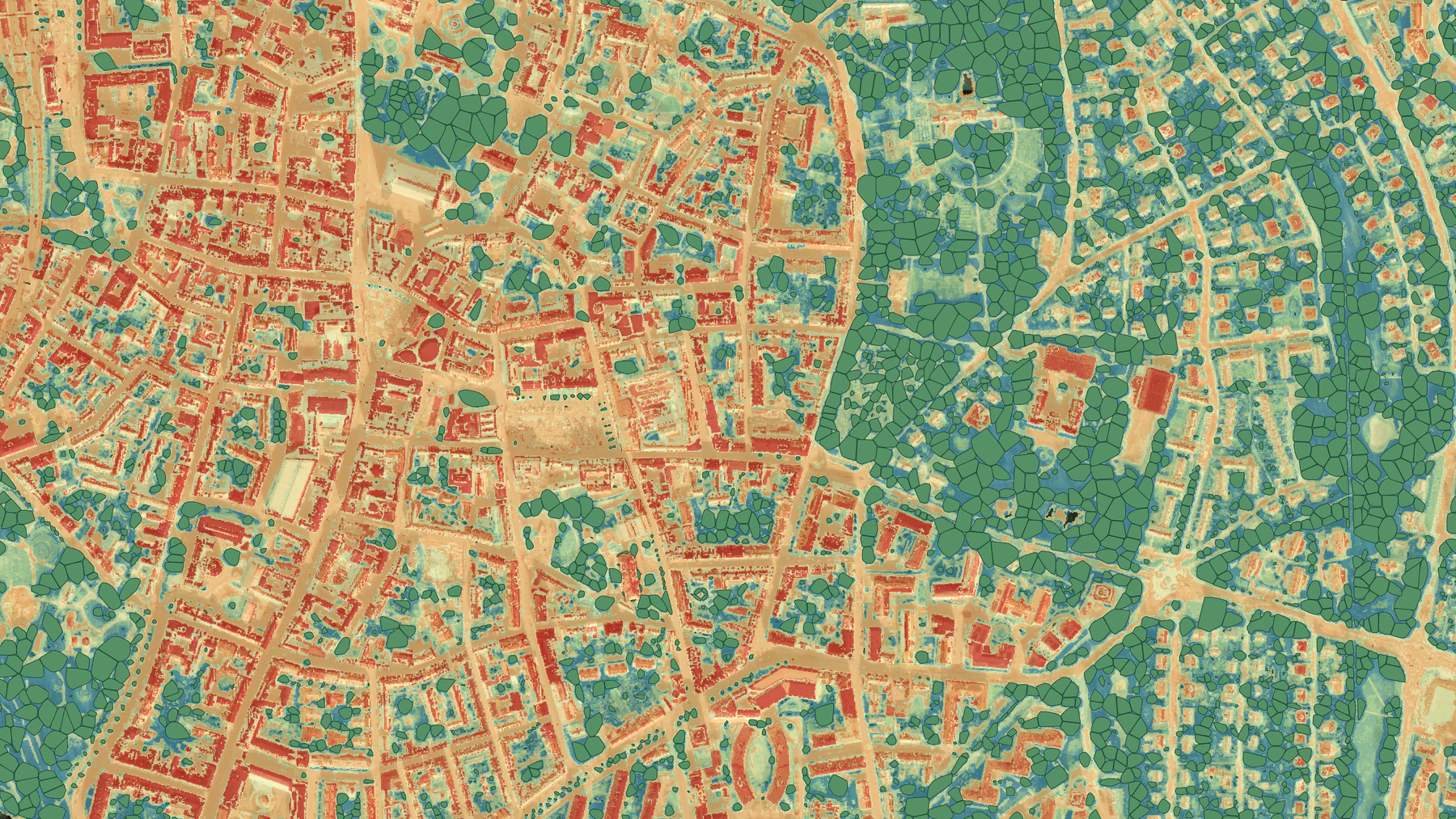
Urban climate and forestry geospatial analysis and mapping.

08

Professional WorkGreen Urbansights

Urban Climate & Forestry Intelligence

Work across urban forestry, heat and green-infrastructure planning in Sweden, including LiDAR-derived tree inventories, Landsat heat analysis, spatial data pipelines, PostGIS-backed services and interactive web tools.

Urban forestry / Remote sensing / Python / PostGIS / Web GIS

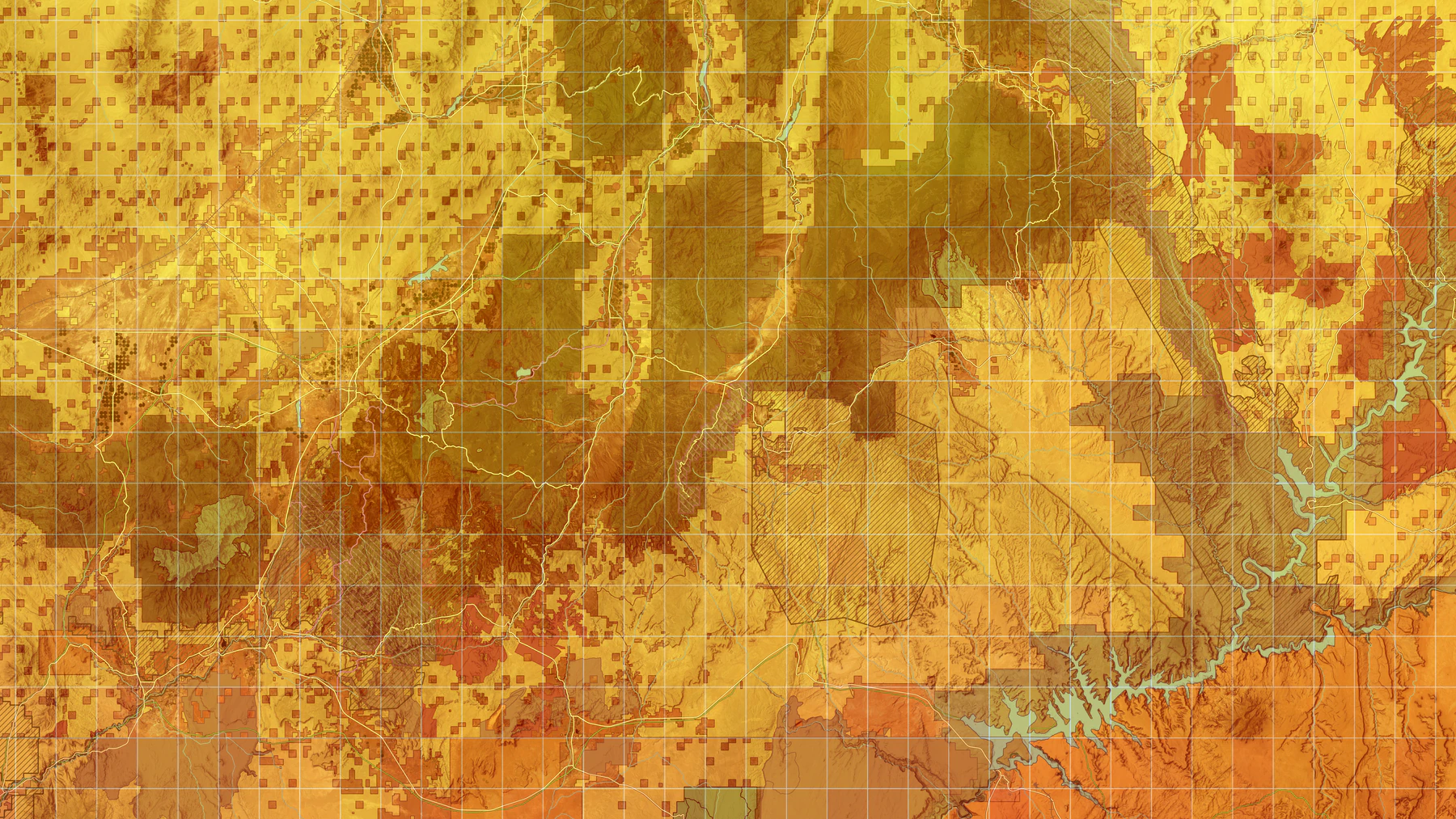
Geospatial analysis and mapping for renewable energy and environmental planning.

09

Professional WorkSWCA Environmental Consultants

Renewable Energy & Environmental Planning

GIS analysis for renewable-energy and infrastructure projects, including siting and constraints analysis, habitat and terrain assessment, viewsheds and permitting-related mapping.

Renewable energy / Environmental constraints / Suitability analysis / Habitat / Viewshed

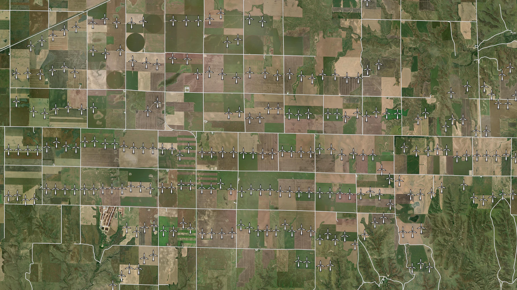
United States wind turbine database geospatial mapping and analysis.

10

Professional WorkU.S. Geological Survey

United States Wind Turbine Database

Co-developed and maintained the United States Wind Turbine Database, using imagery interpretation, supporting records, geodatabase management and QA/QC to help build a consistent national public dataset.

Imagery interpretation / Public data / Data integration / Geodatabase management / QA/QC

Interactive water-quality geospatial visualization and analysis.

11

Professional WorkRoper Geospatial

Water Quality Exploration

Processed and integrated more than 17,000 water-quality observations and built a custom interactive application that let clients explore the data spatially.

Water quality / Data integration / Web GIS / Spatial analysis

Environmental GIS automation and spatial data workflow.

12

Professional WorkSWCA Environmental Consultants

Environmental GIS Automation

Python and GIS tools built to cut repetitive work and standardize recurring analyses, including field-survey preparation, hydrologic flow-path delineation and early-stage site reporting.

Python automation / GIS workflows / Hydrology / Quality control / Environmental reporting

Maps & Cartography

A selection of static map work, from environmental and reference mapping to terrain visualization and detailed site maps.

Interested in this kind of work?

I'm open to conversations about roles, project-based work and collaborations involving environmental data, spatial analysis, remote sensing or mapping.

Get in touch