Landscape Disturbance Monitor
A Sentinel-2 workflow for finding large vegetation-change signals and following how those areas recover through time.
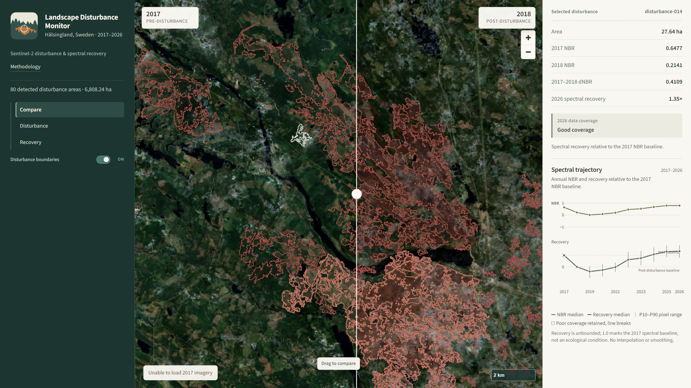
The question
How can Earth-observation data help detect significant vegetation disturbance and subsequent recovery through time?
Approach
The workflow uses multi-year Sentinel-2 annual composites and NBR / NDVI comparisons to identify significant vegetation change, then examines subsequent recovery through time. The analysis is designed to make the raster-processing steps and temporal context inspectable.
Deliverable
An interactive monitoring product for exploring disturbance signals, recovery patterns and the underlying landscape context through time.
Technical implementation
Python-based multi-year raster processing for Sentinel-2 composites, vegetation indices and disturbance/recovery analysis, with interactive web mapping for exploring the results.
Limitations / methodology note
This is a screening workflow. Disturbance signals are not definitive classifications of cause, severity or land-cover change, and recovery patterns depend on the available imagery and analysis period.
Have a similar question?
Get in touch