Green Urbansights
Lead geospatial development for urban forestry and climate-resilience applications while remaining hands-on with remote sensing, spatial analysis, data pipelines, APIs and web mapping.
About
I grew up in Denver, Colorado, with a lot of time spent outdoors and an early interest in visual arts. I later studied environmental science and natural-resource management, and GIS turned out to be a natural meeting point between the analytical, environmental and visual sides of how I like to work.
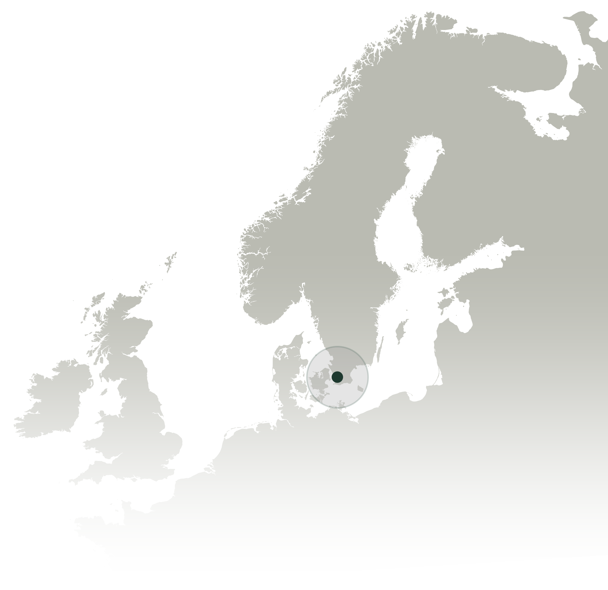
I'm now a geospatial scientist, developer, and cartographer based in Skåne, Sweden. Over the past decade I've worked across government research, environmental consulting, independent consulting and climate technology, gradually moving deeper into remote sensing, automation, spatial data engineering and application development. I still like being close to the work: figuring out difficult spatial problems, building things, and making the results understandable.
01 / Tools
Python / GeoPandas / Rasterio / GDAL / QGIS / ArcGIS Pro
PostgreSQL / PostGIS / Spatial SQL / GeoJSON / COGs / STAC
Sentinel-2 / Landsat / LiDAR / Google Earth Engine / raster analysis
React / TypeScript / MapLibre / Leaflet / Django/GeoDjango / REST APIs
02 / Experience
Lead geospatial development for urban forestry and climate-resilience applications while remaining hands-on with remote sensing, spatial analysis, data pipelines, APIs and web mapping.
Independent client work spanning environmental data integration, web GIS and machine learning, including a water-quality application built around more than 17,000 observations and historical land-cover classification.
Six years of environmental consulting across renewable energy, wildfire, watersheds, habitat and infrastructure, combining spatial analysis, remote sensing, automation, cartography, web GIS and technical leadership.
Co-developed and maintained the United States Wind Turbine Database and supported environmental and energy research through imagery interpretation, spatial modeling, geodatabase work and cartography.
03 / Background
Vrije Universiteit Amsterdam
University of Denver
University of Colorado Boulder
Uppsala University / Uppsala Centre for Sustainable Development
SWCA Environmental Consultants
I'm open to conversations about geospatial roles, project-based work and technical collaborations, especially around environmental data, remote sensing, spatial analysis and mapping.
Get in touch